Be
maps.
tell it with maps
A very easy to use tool.
You will create your maps in just 3 steps.
Your data and information will gain added value through its spatial representation in a GIS.
Sign up and get 1 free map forever.
YOUR MAP IN JUST 3 STEPS
UPLOAD YOUR DATA
Use your own data or select from other available geospatial data sources.
CREATE THE MAP
Take advantage of the tool’s map styles to give your data the desired look on the map.
SAVE AND SHARE
Choose whether to make your map public or share it only with the people you want.
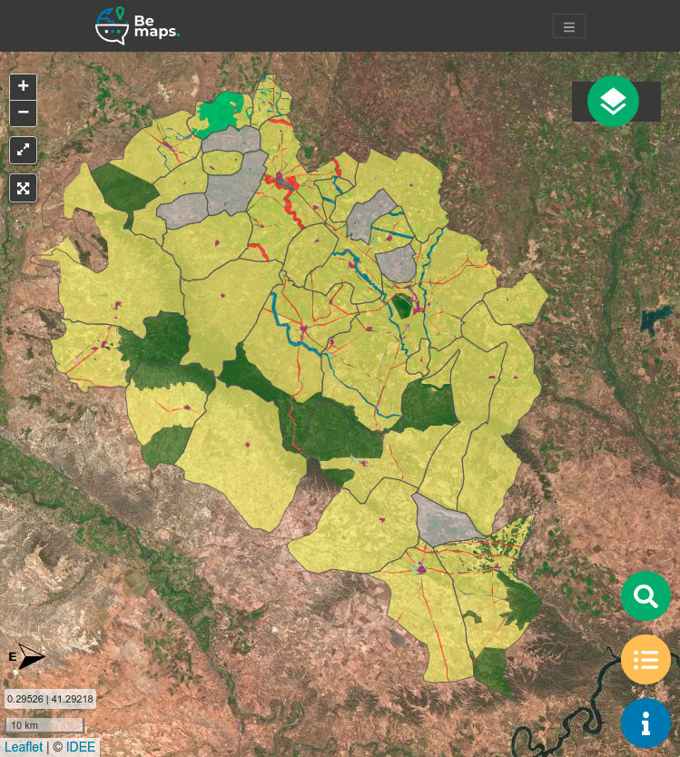
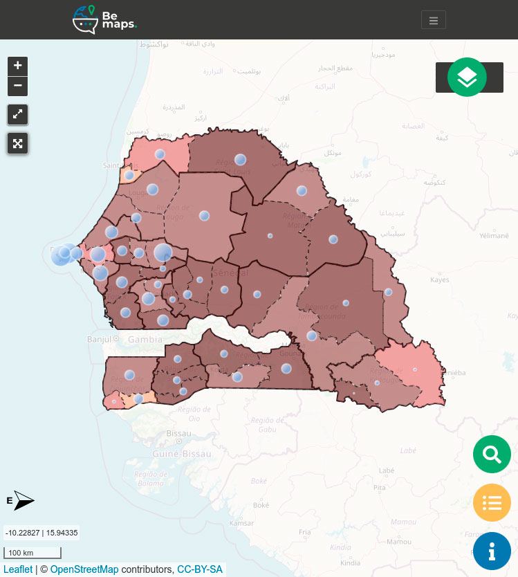
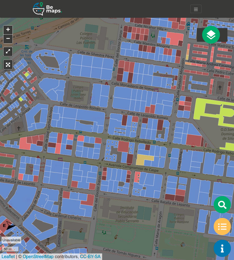
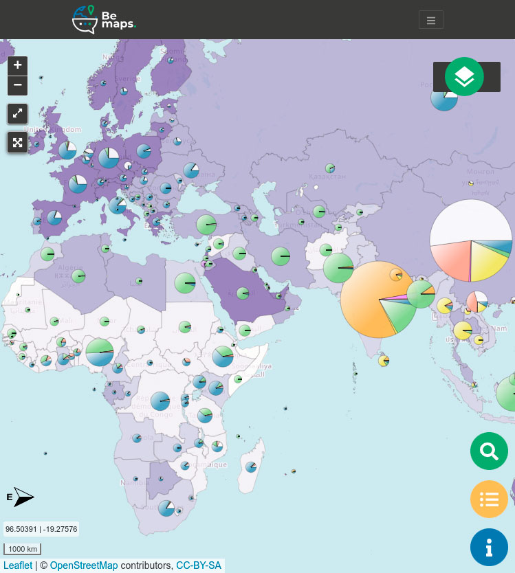
WHAT ARE BeMaps MAPS LIKE?
BeMaps is both a tool with ready-to-use, tested cartographic models, and a full lesson on how to create them yourself. The whole mapping process is intuitive and easy!
Unlike other tools, it’s based on classic theories from Bertin’s Graphic Semiology (1967), updated for 2023. Publishing a bad map is impossible!
In just 3 steps, you create and share your map. The tool guides you and helps you understand the logic behind the process. The learning curve drops dramatically!

PRICING
Teaching
-
For teachers of any educational level.
-
Publish maps
-
1 GB of storage
-
Maps are erased at the end of each course
-
*Taxes not included
Non-profit / investigation
-
For non-profit organizations, centers and research groups.
-
Publish maps
-
1 GB of storage
-
*Taxes not included
ABOUT BEMAPS
- Create maps quickly and easily
- Meet GEOT’s high standards for cartographic design quality
- Always maintain full control over the data
FAQ
TOOL
It’s for anyone or any organization that wants to create, share, and/or publish maps. BeMaps enables collaborative work by allowing other users to make edits to your maps.
No prior knowledge is needed.
The map creation process is very intuitive, and you can follow it using the guidance provided within the tool.
Yes, it’s a multiplatform tool and you can work from anywhere, but keep in mind that editing and design options are more comfortable on a larger screen.
Your data belongs to you. It will be stored in your user area, and only you decide who can access it.
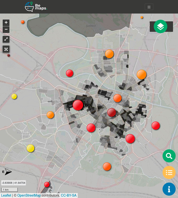
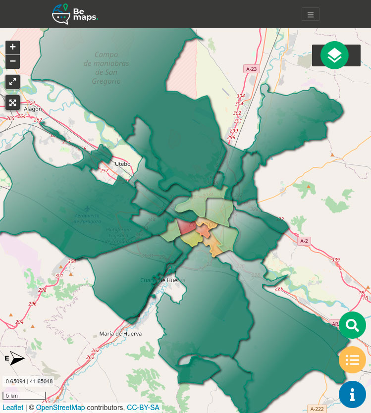
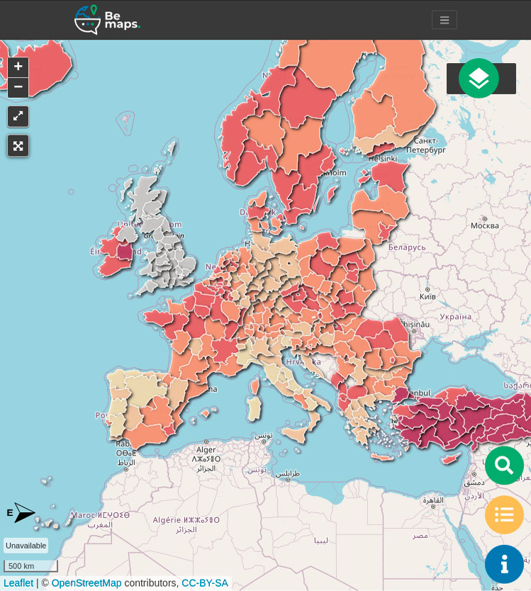
Yes, BeMaps is ready to work anywhere in the world and at any scale.
Yes, BeMaps has a wide collection of ready-to-use layers.
These layers cover various parts of the world, at different scales, and already include data.
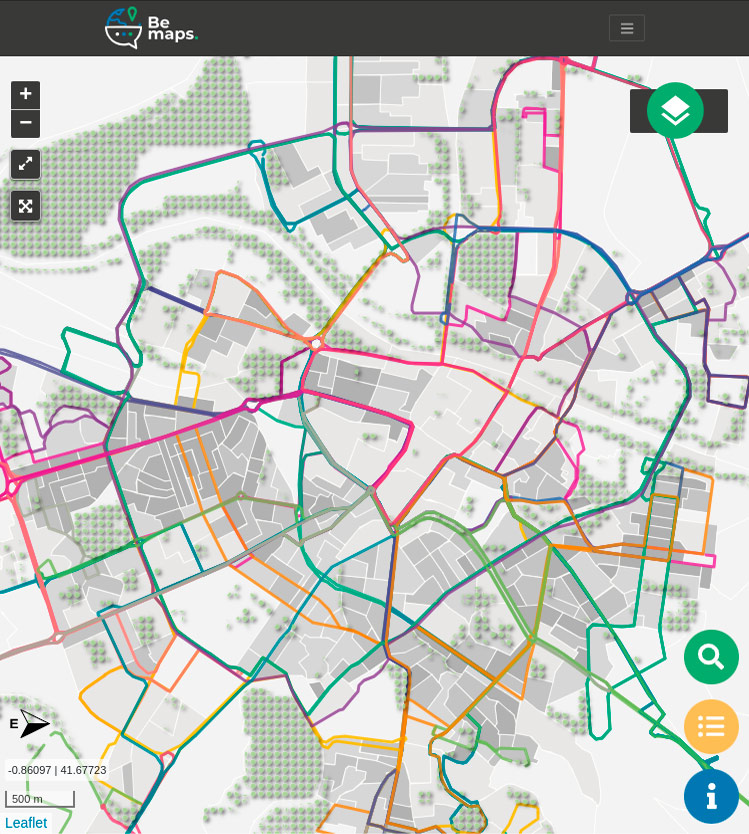
Yes, you can create datasets of points, lines, or polygons according to your needs.
LICENCE
No, you can cancel at any time.
We offer you 1 free map forever, with no commitment. We won’t ask for your credit card number.
No. BeMaps is a web-based tool that works with standard browsers and has no special system requirements.
With your BeMaps license, you have 1GB available to store your maps. If you need more, you can purchase additional space. Just email us at bemaps@geoslab.com and we’ll explain how.
It’s very simple. You can do it directly through the website or by sending an email to bemaps@geoslab.com
CONTACT
If you have any questions or want to know more about BeMaps, fill out this form and we’ll get back to you as soon as possible. Thank you!
Personal data protection. We will use your data to respond to inquiries and perform statistical analysis. For more information about how we process your data and your rights, please see our Privacy Policy.
This site is protected by reCAPTCHA and the Google Privacy Policy and Terms of Service apply.
BOOKING
Personal data protection. We will use your data to respond to inquiries and perform statistical analysis. For more information about how we process your data and your rights, please see our Privacy Policy.
This site is protected by reCAPTCHA and the Google Privacy Policy and Terms of Service apply.